Understanding the Role of BIM in Urban Planning
Urban planning is a complex and multilayered process that requires an unprecedented level of precision and collaboration. As cities grow and evolve, the need for efficient and sustainable infrastructure has become more pronounced than ever. Traditionally, urban planning relied on manual processes and disconnected systems, often leading to mismatched expectations and costly execution failures. Siloed departments, outdated 2D drawings, and inadequate data sharing compounded these inefficiencies, leaving planners to reconcile conflicts only after physical construction had already begun.
Building Information Modelling (BIM) emerges as a transformative framework in this landscape, offering a cohesive digital environment that redefines how cities are conceived, planned, and built. Rather than operating as a mere drafting tool, BIM creates a shared, intelligent data model that captures geometry, material specifications, cost estimates, scheduling information, and performance analytics within a single platform. This integration is particularly powerful at the urban scale, where the interdependencies between transportation networks, utility corridors, green spaces, and built structures are both intricate and consequential.
With BIM, stakeholders ranging from architects and civil engineers to municipal authorities and environmental consultants can collaboratively create, interrogate, and update infrastructure models in real time. Decision-making shifts from reactive problem-solving to proactive scenario planning. When a proposed road widening is modelled in BIM, its downstream effect on drainage systems, pedestrian routes, and adjacent building envelopes becomes immediately visible — enabling better outcomes before a single shovel breaks ground.
City-Scale Modelling: An Overview
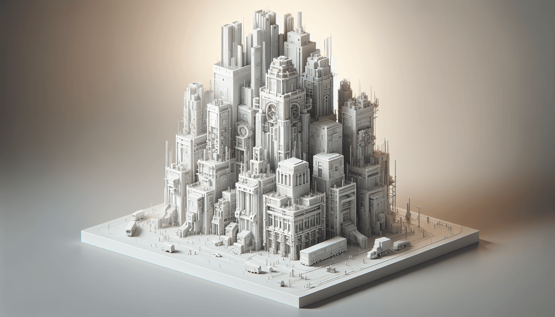
City-scale modelling goes substantially beyond the scope of individual buildings or isolated developments. It encompasses entire urban environments — road networks, public utilities, transit corridors, open spaces, and heritage structures — all layered within the context of existing topography and surrounding communities. This macro-level approach demands that data from multiple disciplines and agencies be federated into a coherent model, a task that BIM platforms are increasingly well-equipped to handle.
BIM's ability to create digital twins — virtual representations of physical spaces that are continuously updated with live data — enables planners to test scenarios, anticipate challenges, and evaluate alternatives before committing to construction. For example, in the United Kingdom, the integration of BIM in major urban redevelopment initiatives has transformed projects like the Elizabeth Line (Crossrail) in London. By deploying comprehensive 3D models that incorporated tunnel alignments, station interiors, utility diversions, and construction phasing, the project team was able to simulate construction sequences, identify spatial conflicts early, and significantly reduce the costly rework that typically plagues large infrastructure schemes. The result was a project that, despite its extraordinary complexity, maintained a degree of coordination that would have been inconceivable under traditional 2D planning methods.
Beyond individual megaprojects, city-scale BIM models are increasingly being used to inform master planning processes. Urban growth corridors can be modelled with density and land-use parameters, allowing planners to visualise how a district will evolve over ten or twenty years and then test those projections against infrastructure capacity — all within the same environment.
Enhancing Infrastructure with Digital Twins
Digital twins, when applied across interconnected city networks, function as holistic management platforms rather than static snapshots. They draw on real-time data feeds from IoT sensors, traffic monitoring systems, weather stations, and utility meters to keep the model synchronised with physical reality. This continuous data loop allows city operators to monitor performance, predict failures, and simulate interventions without disturbing live systems.
The practical benefits are wide-ranging. In traffic management, a digital twin can ingest live flow data and model the cascade effects of a road closure on surrounding arterials. In environmental monitoring, it can correlate air quality readings with traffic density and building emissions, enabling authorities to target interventions with precision. Emergency response planners can use the same platform to rehearse evacuation scenarios, test the resilience of utility networks under stress, and pre-position resources.
Singapore stands as one of the most frequently cited examples of digital twin adoption at scale. As part of the Smart Nation initiative, the city-state developed a Virtual Singapore model that combines BIM data, GIS layers, and real-time sensor feeds into a unified 3D platform. Urban planners use it to model solar irradiation on rooftops for renewable energy planning, simulate crowd movement during large public events, and assess the impact of new developments on wind flow and shading in dense urban corridors. The model has also enabled more precise planning for underground infrastructure, a critical priority given Singapore's ambitions to expand its network of underground roads, utilities, and storage facilities.
Aligning with Sustainability Goals
Sustainability is no longer a peripheral aspiration in urban planning — it is a statutory requirement in many jurisdictions and a genuine public expectation in most. BIM equips planners and engineers with the analytical tools to interrogate sustainability performance at a scale and speed that manual methods cannot match.
Energy analysis is one of the most immediate applications. BIM models can be linked to energy simulation engines that calculate heating and cooling loads, passive solar gains, and ventilation requirements across entire city blocks. Lifecycle assessment tools integrated into BIM workflows allow planners to evaluate the embodied carbon of different structural and cladding options, not just for a single building but across an entire masterplan. This data directly informs public policy, enabling authorities to set evidence-based targets for new development standards.
Barcelona offers a compelling illustration of BIM-enabled sustainability planning. The city has employed digital modelling tools to simulate urban heat island effects, water consumption patterns, and mobility-related emissions across different neighbourhood typologies. These simulations have informed investments in green infrastructure — tree canopy expansion, permeable paving, urban parks — and have enabled the city to model the cumulative environmental benefit of those interventions before funding is committed. The resulting policy decisions carry a credibility grounded in quantitative evidence rather than intuition.
Lifecycle cost analysis is another dimension where BIM adds substantial value. Infrastructure assets such as bridges, tunnels, and utility networks carry maintenance obligations that span decades. BIM models that encode material specifications, installation dates, and performance parameters allow asset managers to forecast maintenance needs, optimise inspection schedules, and plan capital renewals with far greater accuracy. This reduces the risk of both premature replacement and costly failure, making the case for BIM not just on design grounds but on long-term financial stewardship.
GIS Integration and Geospatial Intelligence
One of the defining technical challenges of urban BIM is the need to bridge two traditionally distinct disciplines: Building Information Modelling and Geographic Information Systems (GIS). BIM excels at capturing the detailed geometry and attributes of individual structures and networks. GIS provides the spatial context — terrain models, land parcel boundaries, demographic data, utility easements, and environmental designations — within which those structures sit.
Integrating the two creates a far more powerful planning environment. When a BIM model of a proposed transport interchange is overlaid on a GIS layer showing population density, employment centres, and existing public transport coverage, planners can assess the scheme's catchment area and accessibility performance in a single view. Similarly, linking BIM models to GIS-based flood risk or seismic hazard data allows structural engineers to calibrate designs to location-specific risks without manually translating between separate platforms.
Standards such as CityGML and Industry Foundation Classes (IFC) are increasingly being used to enable this integration, and major BIM software vendors have invested substantially in improving GIS interoperability. The result is a class of urban modelling tools that are genuinely capable of operating at the scale of a city rather than a single plot.
Overcoming Challenges in Urban BIM Implementation
Despite its considerable promise, implementing BIM at an urban level is not without obstacles, and it is important to approach these challenges candidly rather than gloss over them.
Data integration is the most persistent technical hurdle. Urban projects draw on information from dozens of agencies and disciplines — highway authorities, utility companies, environmental regulators, heritage bodies, private developers — each with its own data formats, naming conventions, and update cycles. Building a federated model that accurately reconciles these inputs demands rigorous data governance and, often, significant investment in data standardisation before modelling work can begin in earnest.
Organisational readiness is an equally significant barrier. Many local authorities and planning departments still operate on workflows designed around 2D drawings and spreadsheets. Transitioning to BIM-centric processes requires not just software investment but comprehensive training programmes, changes to procurement frameworks, and a cultural shift towards open data sharing across organisational boundaries. Resistance to this change can be substantial, particularly in larger institutions where departmental silos are entrenched.
Procurement and legal frameworks present a further dimension of complexity. Urban BIM projects often involve public-private partnerships where data ownership, intellectual property rights, and liability for model accuracy must be carefully defined in contract documents. The absence of standardised BIM contracts for infrastructure projects in many jurisdictions means that legal teams must often develop bespoke arrangements, adding time and cost to project initiation.
Despite these challenges, the evidence from completed urban BIM programmes consistently demonstrates that the investment pays off. Reduced design coordination time, fewer construction errors, more accurate cost forecasting, and improved long-term asset management are outcomes that have been documented across projects of varying scale and geography.
The Role of AI and Machine Learning in Urban BIM
The integration of artificial intelligence and machine learning into BIM workflows is beginning to extend the platform's capabilities in directions that were not feasible even five years ago. AI-driven clash detection can now process models with millions of components in a fraction of the time that manual or rule-based tools require. Machine learning algorithms trained on historical construction data can flag design decisions that have historically led to cost overruns or programme delays, enabling earlier course corrections.
At the urban scale, AI is being applied to analyse patterns in land use, mobility, and infrastructure performance to generate planning recommendations. Generative design tools can propose multiple layout configurations for a development site, each optimised against different criteria — density, solar access, walkability, or cost — and present the trade-offs to planners in an accessible visual format. This shifts the planner's role from draughtsperson to decision-maker, allowing human expertise to be applied where it adds the most value.
Predictive maintenance is another frontier. When sensor data from physical infrastructure is fed into an AI model trained on the asset's BIM information and historical performance data, it becomes possible to forecast when a bridge deck is likely to require attention, or when a section of water main approaches the end of its serviceable life. Cities that have begun piloting these systems report significant reductions in reactive maintenance expenditure and, critically, improvements in public safety.
The Future of BIM in Urban Planning
The potential of BIM in urban planning continues to expand alongside the broader digital transformation of the built environment. As connected technologies including IoT, AI, and cloud computing become more deeply embedded in city operations, BIM models will serve increasingly as the data backbone that unifies these inputs into actionable intelligence.
Standardisation will be a crucial enabler of this future. The United Kingdom's BIM Level 2 mandate and the ISO 19650 series of standards have established frameworks that are gradually being adopted internationally, making it easier for project teams across different countries to collaborate on shared models and exchange information reliably. As these standards mature and proliferate, the barriers to urban BIM adoption will lower, and the size of the implementable project pipeline will grow accordingly.
The cities that are investing in BIM capability today — building internal expertise, updating procurement standards, and establishing shared data environments — are positioning themselves to manage the infrastructure challenges of the coming decades with considerably more confidence than those that defer these investments.
At Adyantrix, our BIM consulting, 3D visualisation, and coordination services are designed to support exactly this kind of ambition. Whether working on a master plan for a new urban district, a complex infrastructure upgrade in an established city centre, or a sustainability-led retrofit of existing public assets, our team brings the technical depth and collaborative discipline that city-scale modelling demands. We understand that BIM at the urban scale is not simply a software question — it is a professional practice question — and we are committed to helping our clients navigate both dimensions with clarity and confidence.
Speak with our BIM Consulting team at Adyantrix to find out how we can support your next project.